Every year, I try to visit a new National Park, or at least start planning my trip to one. That’s a little more difficult right now, but given that it’s National Park Week, I decided to try and keep with my tradition by using Google tools to satisfy my wanderlust.
Explore new places and parks
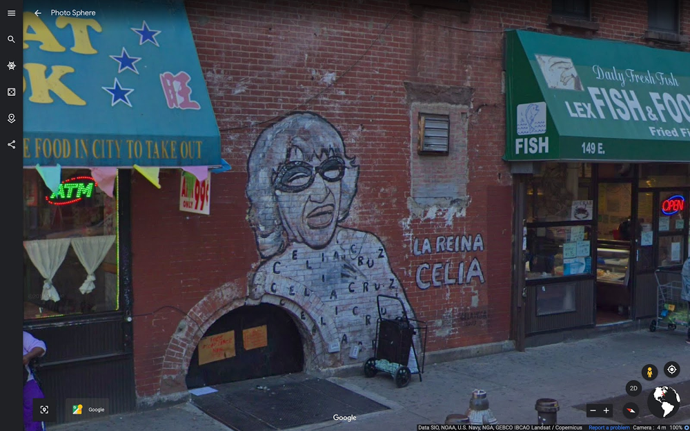
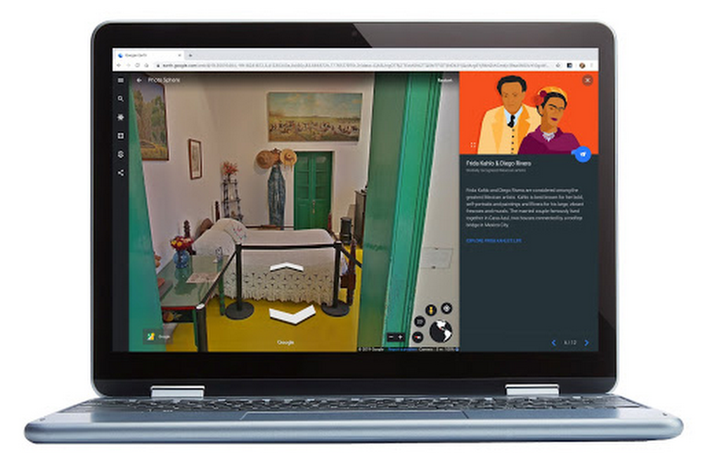
This year, I’m heading to g.co/nationalparks, a Google Arts & Culture project developed in collaboration with National Park Service that takes you on guided tours narrated by park rangers from the Kenai Fjords, Hawai'i Volcanoes, Carlsbad Caverns, Bryce Canyon and Dry Tortugas. I can also visit historical sites that I’ve never been to before, like Eleanor Roosevelt’s woodsy home in Hyde Park, New York or Thomas Edison’s camping sites (which, to me, look a little more like glamping). There are more than 100 Street View historical tours to choose from, and collections that let you discover Native American craft work or fossils from archeological digs.
Afterward, I’ll take an in-depth tour of some of the National Parks of the United States and wander through a few of the most-loved ones recommended by our community of Local Guides in two popular Google Earth Voyager stories. I plan on rounding out the week with a new YouTube series from the Google Earth team that travels to National Parks across the country, literally “zooming” you into places like Elephant Hill in Canyonlands National Park and Kanarraville Falls in Zion National Park. There’s even a new Global National Parks quiz to test your geo-knowledge.

All of these things help an outdoor enthusiast who’s stuck inside (for the time being) to find unknown landscapes or get inspiration for their next trip. Perhaps for the most well-traveled out there, they’re a way to remember a favorite adventure.
Or revisit old favorites
Before I venture into the unknown, I decided to take a trip down memory lane (or rather, memory trail), and re-experience some of my favorite hikes in National Parks with the help of Google Street View, and anyone can join me—starting with Bright Angel Trail in the Grand Canyon. Saving the uphill journey for the second half of a hike is something my legs will never forget, but it remains one of my favorite National Parks memories. And thanks to Street View, I can recreate the journey … with fewer water breaks, probably.
I can also make my way up Garfield Peak in Crater Lake National Park (which I hiked during a camping trip where I first met my husband) and make as many nostalgic pit stops along the way as I want.
And last summer, my family and I all vacationed in Acadia National Park. Now that we can’t physically see one another, I’m even more grateful we went. One of my favorite memories was hiking along the park’s easternmost edge, the Great Head Trail, with my husband and meeting my family on Sand Beach, a journey I’m happily retaking via Street View … and maybe on our weekly family video call, we’ll all “hike” it together.


