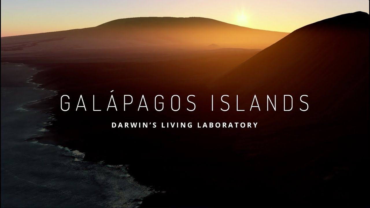
Today, in partnership with the Directorate of the Galapagos National Park and Charles Darwin Foundation, we’re launching the 360-degree images from the Galapagos Islands that we collected in May with the Street View Trekker. Now, you can visit the islands from anywhere you may be, and see many of the animals that Darwin experienced on his historic and groundbreaking journey in 1835.
Darwin may have first sighted San Cristobal Island from the water, perhaps near where we sailed with the Trekker strapped to a boat in order to observe the craggy shoreline and the Magnificent Frigatebirds that the rocky landscape shelters. After landing on San Cristobal, we made our way to Galapaguera Cerro Colorado, a breeding center that helps to restore the population of the island tortoises, seriously threatened by invasive species. Wearing the Trekker, we walked by giant tortoises munching on leafy stalks and recently hatched baby tortoises.
Darwin visited Floreana Island, but he didn’t have the scuba gear needed to properly explore the marine life just off the island’s coast. Thanks to our partner, Catlin Seaview Survey and their SVII underwater camera, we were able to collect underwater imagery of some especially energetic and inquisitive sea lions that came out to see whether the divers wanted to play!
On our hike through the wetlands of Isabela Island, we spotted some marine iguanas, including this one sunning itself after a morning swim. On North Seymour Island, we got up close and personal to blue-footed boobies performing their mating dance and the Magnificent Frigatebirds with their red throat sacs.
The extensive Street View imagery of the Galapagos Islands won’t just enable armchair travelers to experience the islands from anywhere in the world—it will also play an instrumental role in the ongoing research of the environment, conservation, animal migration patterns and the impact of tourism on the islands. See our Lat Long blog post for an example of how the imagery will be used for scientific research.
Visit our behind-the-scenes experience and tune in to an exclusive Google+ Hangout with the Google Maps team and our partners at 9:00 a.m. PT today to learn more about this special collection of imagery.