Move over, blue moon—there’s a more rare astronomical event in town. For the first time since 1979, a total eclipse of the sun is coming to the continental United States this Monday, August 21. Starting on the west coast around 9 a.m., the moon will begin to block the face of the sun. Not long later, the moon will completely cover the sun, leaving only the bright corona visible for as long as two minutes and 40 seconds.
Whether you’re traveling to see the “totality,” catching a glimpse of the partial eclipse from another location, or simply curious, Google can help you learn more about this unique moment. Grab your solar glasses and peep what we’ve got in store:
Live from the solar eclipse
Even if you’re not in the path of the solar eclipse you can tune to YouTube to watch the magic unfold live as it crosses over the U.S. Catch livestreams from NASA, The Weather Channel, Exploratorium, Discovery's Science Channel, and Univision.
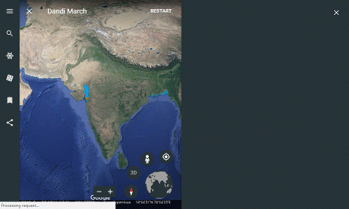
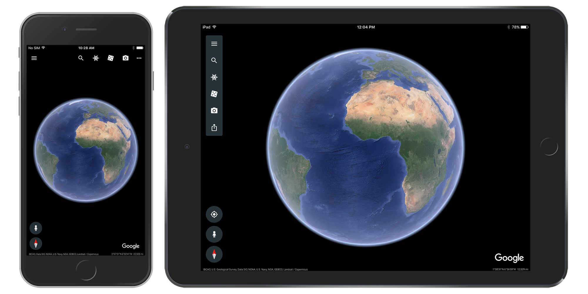
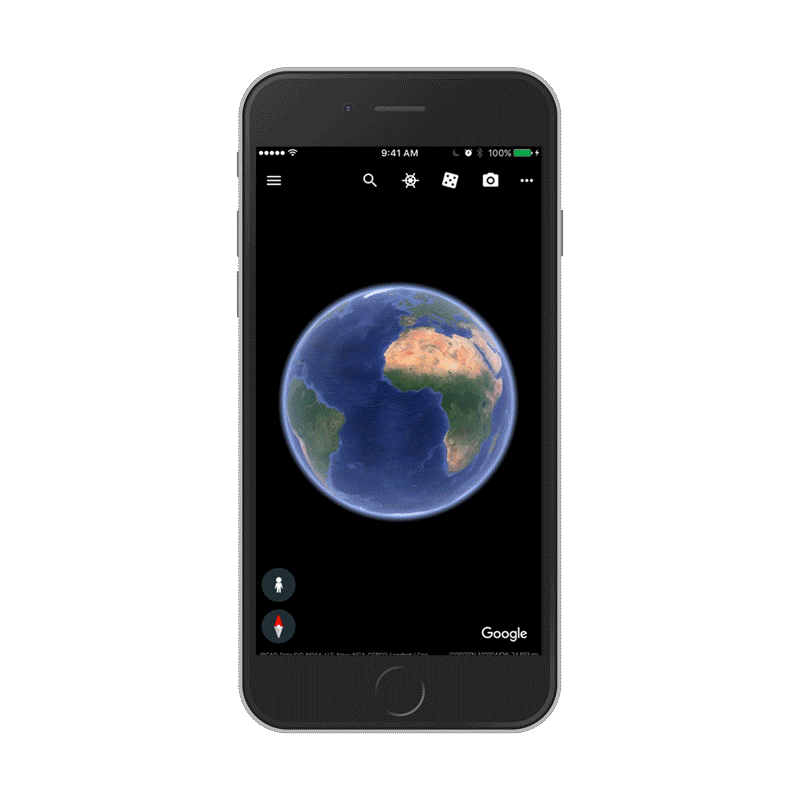
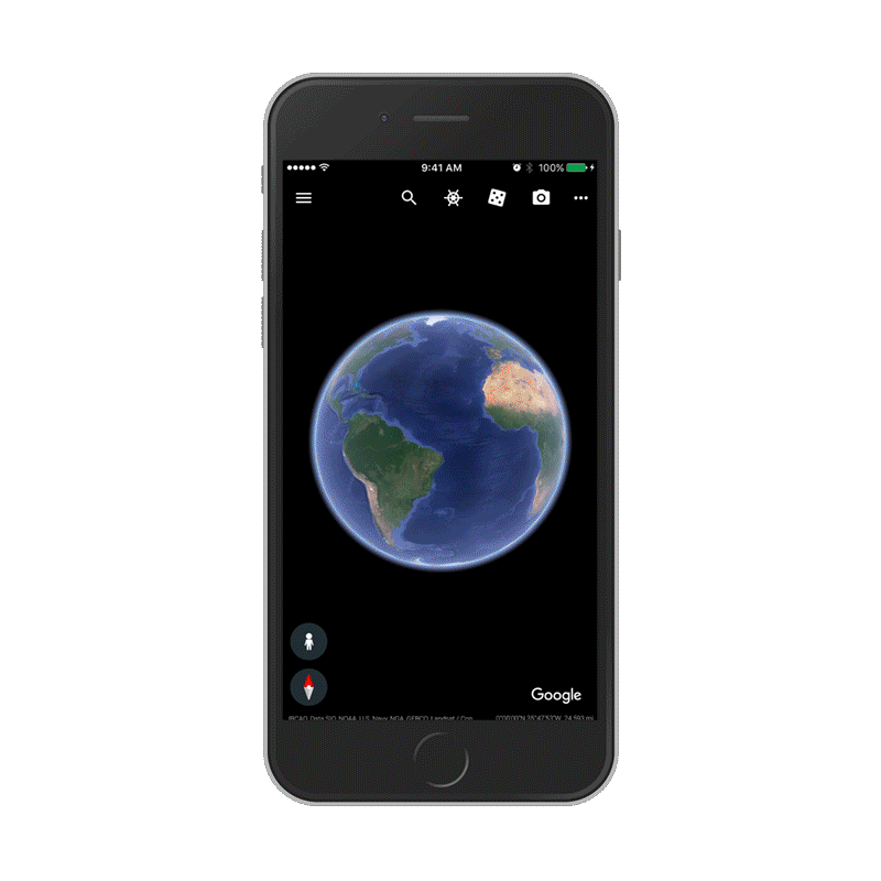
Sun, moon and Google Earth
With a new Voyager story in Google Earth, you can learn more about the science behind the eclipse. You can also see what it will look like where you live.
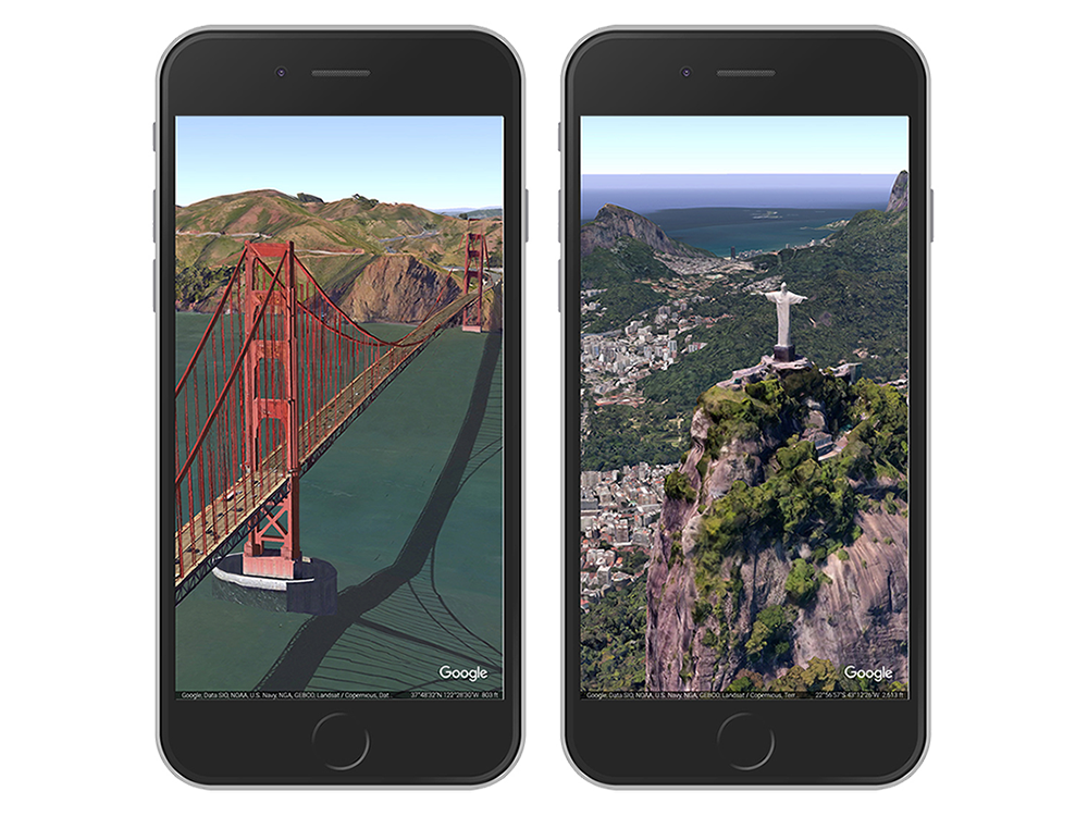
Futures made of virtual totality
If you’re not in 70 mile wide path of totality, fret not. Travel to Mt. Jefferson, OR in Google Earth VR (on Rift and Vive) and view it in virtual reality. From the menu, select Total Solar Eclipse to get a view from the center of the action.
Lights, camera, astronomical action
We’re working with UC Berkeley, other partners and volunteer photographers to capture images of the sun’s corona at the moment of totality for use in scientific research. We’re also using our technology to algorithmically align these images into the Eclipse Megamovie, a continuous view of the eclipse. Read about some of the people involved in this project, and stay tuned for the complete Megamovie soon after the eclipse on https://eclipsemega.movie.
It’s a bird, it’s a plane, it’s Android O!
People worldwide have explained solar eclipses through the lens of myth and legend for centuries. This year, there’s a new supernatural being whose identity will be revealed as the sun and the moon do their celestial dance. Get ready to meet Android O at android.com/o.
While a solar eclipse is a pretty rare astronomical event, don’t worry it’s not too early to start planning for the next one passing over the United States on October 14, 2023. You can always set a Google Calendar reminder to make sure you don’t forget.