Updated admin setting for improved video quality in Google Meet
In April 2026, we updated Meet to improve video quality on high-resolution displays. We’re now updating the way the Admin console setting that limits video bandwidth works to reduce data usage and improve call quality. | Learn more.
Educators and students can now share Gemini Canvas creations directly to Google Classroom
Educators and students of all ages can now seamlessly attach Gemini Canvas artifacts, like websites, quizzes, interactive games, infographics, and more, to Google Classroom assignments and posts. | Learn more.
Assign mobile device management admin privileges based on organizational unit
We’re giving admins more granular control over how mobile device management privileges are delegated. Specifically, admins can be assigned privileges for specific organizational units (OUs), adding another layer of security by scoping access only to necessary OUs. | Learn more.
Data regions support for the Gemini app now available
The Gemini app adheres to your organization’s data regionalization requirements. As with Google Workspace, admins have the flexibility to configure controls for EU storage and processing, US storage and processing, or both, including granular settings down to the organizational unit (OU) level. | Learn more.
Create fully native and editable presentations with Gemini in Google Slides
You can now create a full, multi-slide presentation using Gemini in Google Slides. With a single prompt, you can ground the presentation in existing content from Google Drive, match the style of another presentation, and build fully editable slides, allowing you to make any necessary adjustments. | Learn more.
Ask Gemini in Drive now available on mobile
In April, we announced the general availability of Ask Gemini in Drive on the web. We’re now bringing this feature to the Drive Android and iOS apps. | Learn more.
Work with delegated Gmail accounts from mobile devices
Previously, users could only work with delegated Gmail accounts through the web interface. We are updating the Gmail app for iOS and Android to allow delegates to read, manage, and compose emails on behalf of a delegator directly from their mobile devices. | Learn more.
AI Overviews in Drive now available on mobile
In April, we announced the general availability for Drive AI Overviews in Drive on the web. We’re now bringing this feature to the Drive Android and iOS apps. | Learn more.
Import 3D bar charts into Google Sheets
Google Sheets now fully supports the import of 3D bar charts. Previously, when users imported files containing 3D bar charts into Sheets, they would be displayed as 2D bar charts. With this update, importing these types of files, including from Microsoft Excel, will yield a more seamless experience. | Learn more.
The announcements above were published on the Workspace Updates blog over the last week. Please refer to the original blog posts for complete details.
 Sub-Saharan Africa is home to incredible storytelling, which fuels the game development scene in what is one of the world's fastest-growing gaming markets. But while the…
.jpg)


.jpg)
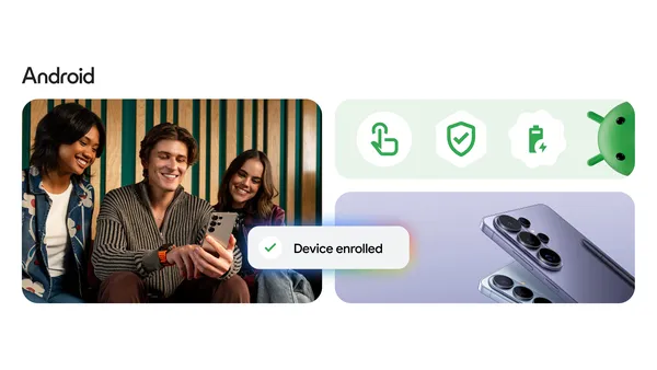 Android and Samsung helped B3 securely scale mobile device management and AI capabilities for their management workforce.