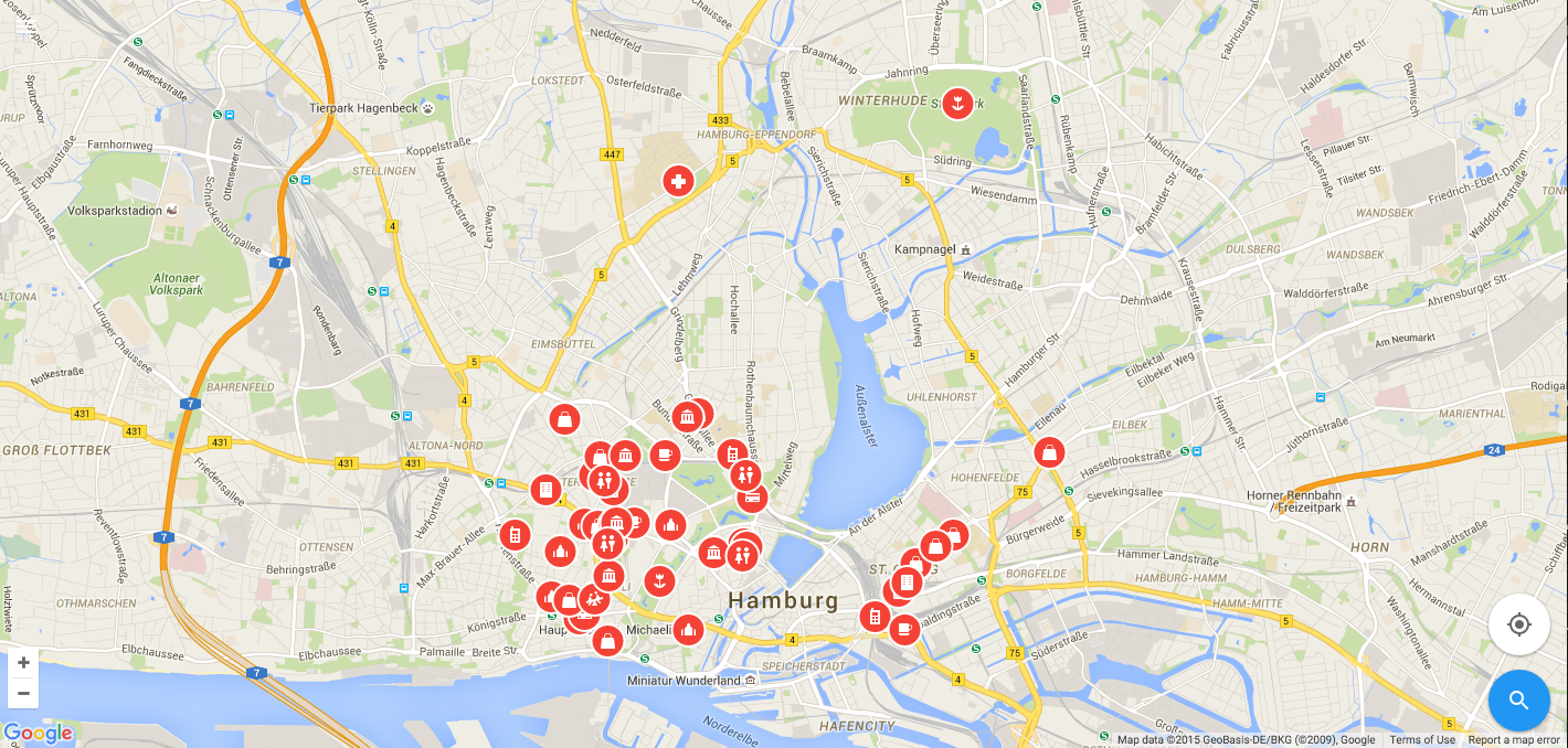
RefugeeMaps.eu highlights local points of interest that are relevant to refugees new to a particular area, including libraries, recreational facilities and other important landmarks. The goal is to take local knowledge from volunteers and make it easy for someone new to the area to orient themselves and find resources that will help them settle in quickly.

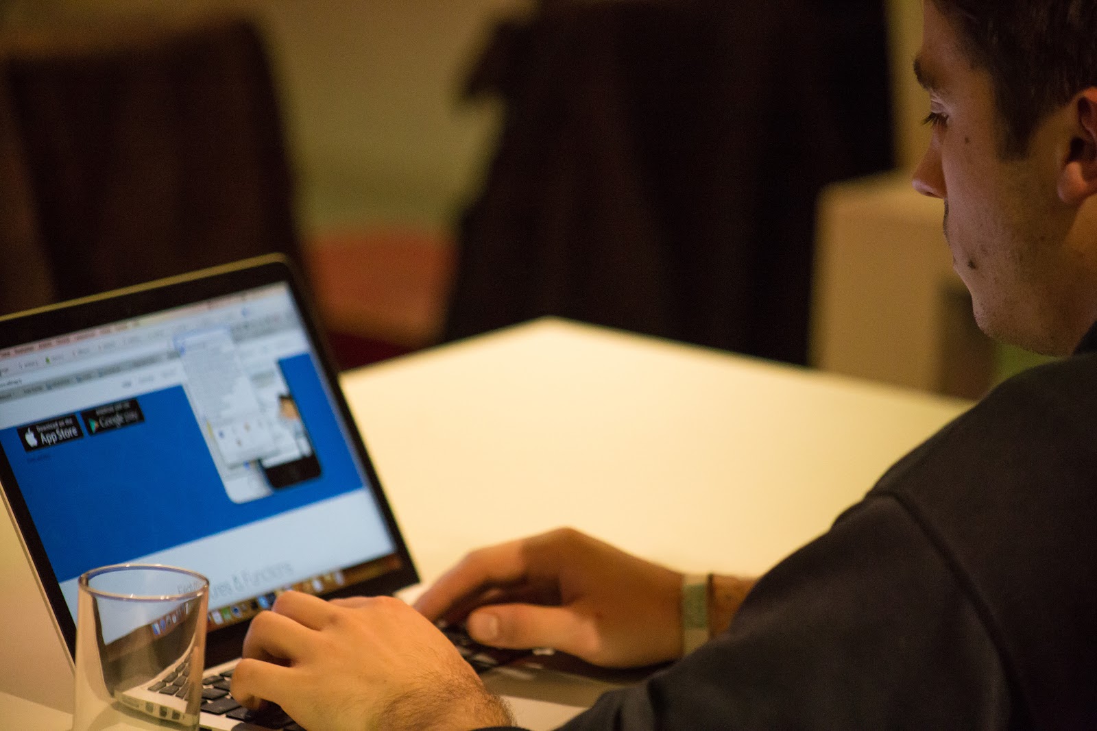
We kicked-off the hackathon with a presentation from Barbara Kopf, a refugee activist and the manager of the institution ‘Freizeithaus Kirchdorf’. She provided context for what refugees need and how they can help. Then, we had Thomas Steiner, an engineer in the Google Hamburg office, and Martin Kleppe from Ubilabs talk about the technical aspects around the platform. To support the effort, Ed Boiling, Google Maps APIs Sales Engineer, presented 10 Google Maps APIs in 10 minutes, then it was time to start start coding.

Six groups of developers formed and spent the rest of the night designing, coding, and working together to find ways to improve RefugeeMaps.eu with, of course, lots of coffee and snacks.
After 24 hours, we all came together to review the improvements which included:
- Improvement to the front end design and UX optimization based on language preferences, making it easier for refugees to navigate the platform based on their preference for Arabic, English or German.
- A function that makes it easier for refugees to print out select, zoomed-in areas of the map. Not all refugees have cell phones, especially women and children, so one group decided it was important to make sure it was easy for someone to print out maps to make it truly offline.
- Addition of new places. Currently, only local volunteers with access to a master spreadsheet can add locations; however, one group added a function that makes it easier for anyone to add in a location through the interface of the map. This then updates the master spreadsheet.
- A native offline Android app. Offline is important for the refugees that might not have data plans, so one group created a native Android app that could be used offline.
- No server solution. To make it easier to run the platform, developers made a solution that did not require a server-side.
- A performance boost. Developers added back-end changes to allow for caching of resources for offline use.
Here is the improvement we made to the front end design:
We were so impressed by all of the improvements that the developers made over the 24 hour period. While the hackathon is officially over, we also extend our invitation to collaborate on the project to external developers who could not attend the hackathon. You can find the code and all info on GitHub as well as a live demo instance of RefugeeMaps.eu online.
Posted by Hena Haines, Product Marketing Manager, Google Maps APIs