Brazil has one of the world’s most diverse populations, with more than 500,000 indigenous people living on 472 territories certified by the government—representing 13 percent of Brazil’s total land. Most of these territories are in the rapidly-changing Amazon region, the largest and most biodiverse tract of tropical rainforest in the world. Deforestation has had a devastating effect on indigenous people and the local economy, destroying biodiversity, and contributing to greenhouse gas emissions.
Indigenous communities play an important role in preserving the natural biodiversity and cultural richness of the Brazilian Amazon by sustainably managing their lands in a smanner sensitive to the delicate ecosystem.
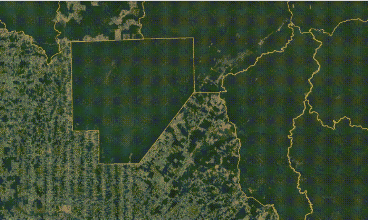
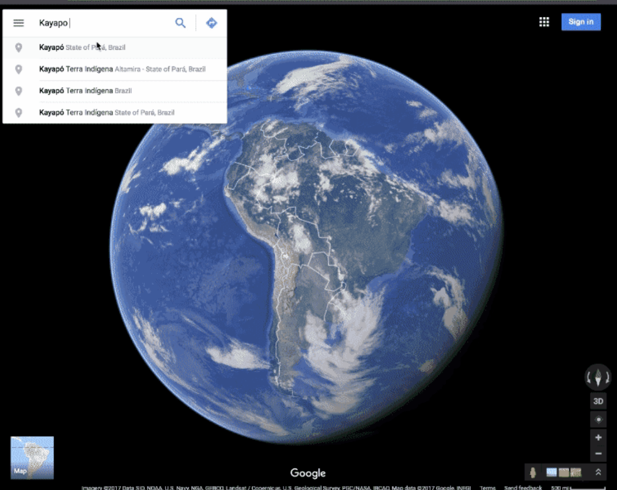
That brings us to Google Maps. Integrating indigenous territories into our maps, like we announced earlier this month for Canada, is an essential step in accurately reflecting the world. Now, through a partnership with FUNAI (Fundação Nacional do Índio), Brazil’s governmental agency overseeing indigenous affairs, Google Maps and Earth represent Brazilian indigenous territory labels and borders in a way that reflects the landscapes that local communities know so well.
By defining Brazil's indigenous territories we can show the world the role these communities play in maintaining global socio-biodiversity.Artur Nobre Presidential Advisor, FUNAI
On Google Maps and Earth, you can now see the names of certified indigenous territories in Brazil, search for indigenous territories using the name of the ethnic group living there and see how forests are maintained in these areas compared to other parts of the Amazon.
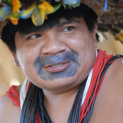
The Suruí people, living on the Sete do Setembre territory, are a notable example of how mapping indigenous territories can help prevent deforestation and preserve culture. Tribal leader Chief Almir first came across Google Earth in 2007, and immediately grasped its potential for conserving the heritage and traditions of his people. He proposed a partnership with Google to create an online map of Surui cultural heritage, as well as a new system to monitor illegal logging and carbon stock using Android smartphones. This was the first ever indigenous community-led deforestation and forest degradation mapping project. Through this project, the Surui calculated the value of their forest on the voluntary carbon marketplace— and became the first indigenous community to receive funds for preserving their forests.
With indigenous lands labeled on Google Maps, the world can learn more about the forest and history of each indigenous community, and recognize the roAlmir Surui Chief
This update builds on other work by Google Earth Outreach to support cultural preservation and land management. Thanks to the Surui people and others around the globe, we look forward to continue to improve the digital reflection of indigenous lands on Google Maps and Google Earth.