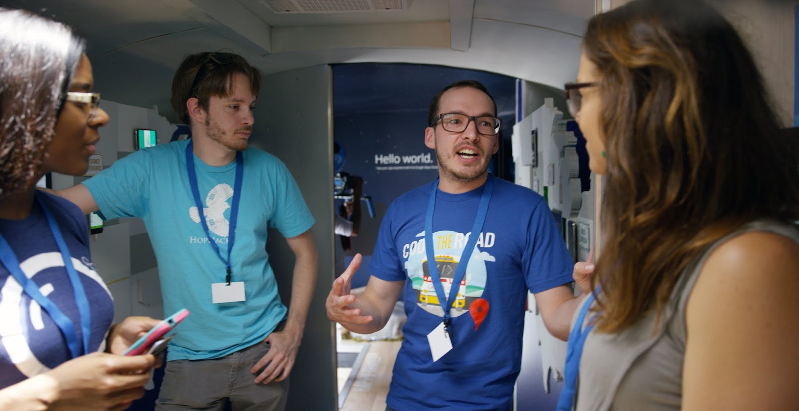
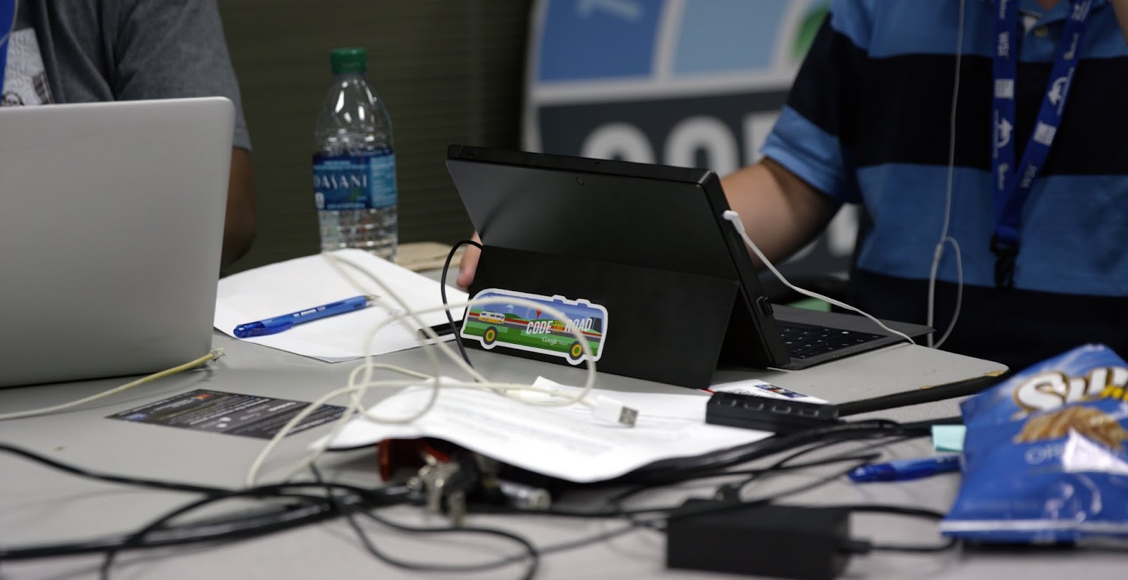
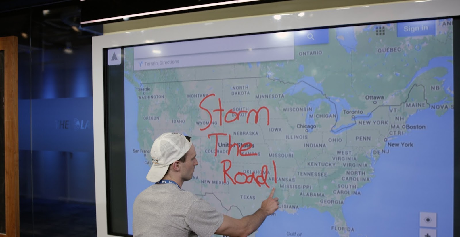
On Tuesday, June 23 we pulled the Code the Road bus into The Weather Channel HQ to co-host ‘Storm the Road’, a 24 hour hackathon dedicated to building apps for weather safety.
While in Atlanta, we hosted 14 teams of developers tasked with creating a new app for mobile or web that helps keep the public safe and informed with the Google Maps APIs and The Weather Channel data layer. Natural and weather-related disasters happen far too frequently. They can strike anywhere—across the world or right in your own neighborhood. During these events safety preparedness, adequate response and an informed public are critical.
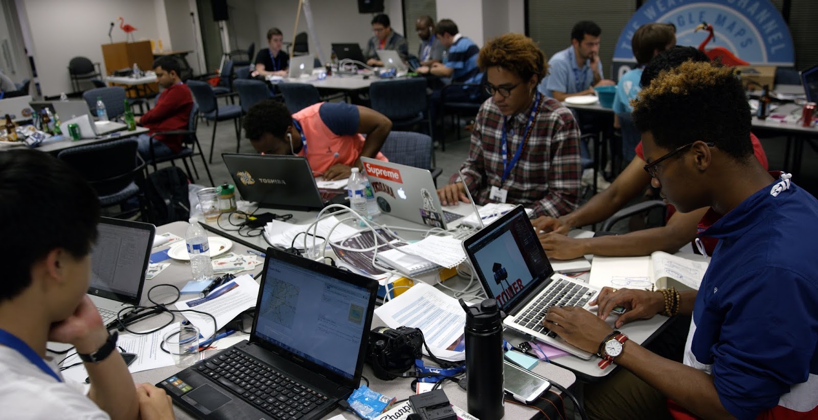
During the all night hackathon, we enjoyed meals, snacks, and a few naps but we were overwhelmed by how much the developers in the room were able to accomplish in such a short amount of time.
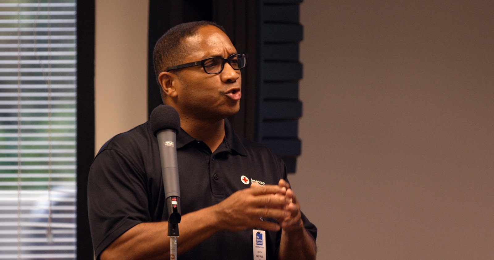
We kicked-off the hackathon with an introduction from Ruben Brown, Regional Communications Manager, American Red Cross of Georgia, and two quick tutorials from Ankur Kotwal, Head of Scalable Developer Advocacy, Google Maps and Chris Huff, VP, Mobile & Consumer App Development at The Weather Channel. Our developers immediately started forming teams and pitching ideas. Within 30 minutes, everyone was heads down and coding.
Midnight Madness
After 9 hours of hacking, everyone jumped up to participate in our rock-paper-scissors tournament. Teams around the room played one round of rock-paper-scissors and the winner played the winner from the adjacent team. The loser had to become their opponent’s cheerleader in the next round.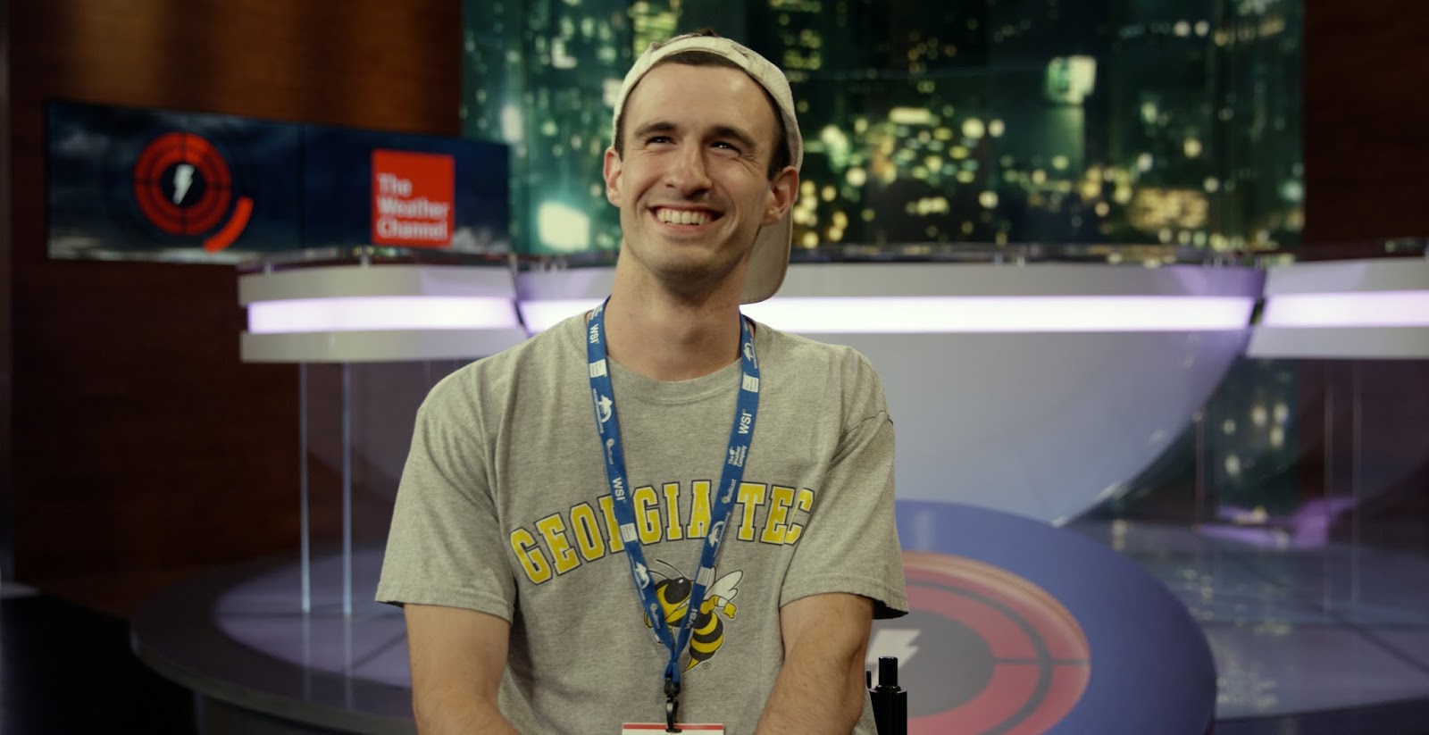
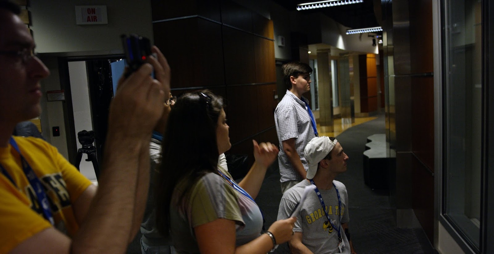
After an intense and loud round of rock-paper-scissors—we crowned our winner. We had prizes for the top four winners, the overall winner, and the best cheerleader who even lost his voice during the competition. Our top four winners received a private tour of The Weather Channel Studios.
Judges
Our judging panel included two team members from The Weather Channel, Cameron Clayton, President, Product and Technology, and Jen Carfagno, On-camera meteorologist. We were fortunate to also have two representatives from The American Red Cross, Sandy Smith, Regional Chief Development Officer, and Tim Downey, Strategic Partnerships & Development. Rounding out the panel was James McGill, Engineering Manager Google Maps APIs.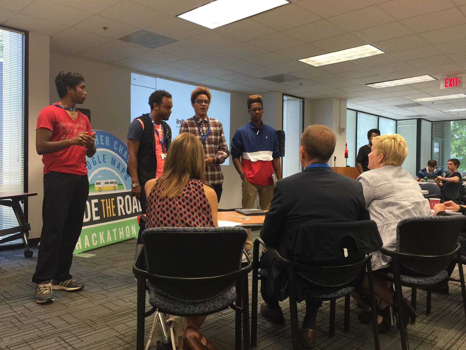
Results
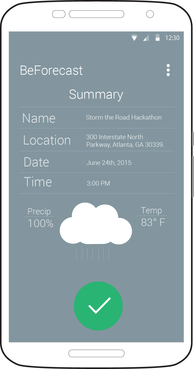
All of the teams embraced the challenge, but there could only be three finalists.1st Place - BeForecast: Calvin Nix, Luis Lopez, Daniell Yancey, Zacchaeus Thomas
BeForecast is an Android application developed to help provide weather related information to people planning events. This application utilizes The Weather Channel API along with the Google Maps APIs. Our goal is to help keep people informed about weather conditions as it relates to their own personal agenda.
2nd Place - Watchtower: Raymond Hebard, Ocean Evers-Peete, Austin Evers-Peete, and Wren Howell
Watchtower is a preemptive response to natural disasters and national crises for people in a foreign environment. The web application works to match individuals/groups in need with volunteers (i.e. 'Beacons') and 'Samaritans' (certified helpers like the Red Cross) who meet the criteria of being willing to help the people in need, speaking the same language of the foreign travelers, and having the proper knowledge of safety precautions for events that may occur. The Weather Channel API displays a 10-day forecast of the desired location on the homepage, and the Google Maps APIs are utilized as a visual representation to display the location of 'Samaritans' or ‘Beacons’ alongside the listing of suitable matches.
3rd Place - Emergency Delivery Service: Jon Keller, Kelly Marble, Gene Chorba, and Saeid Motevalialamoti
Emergency Delivery Service handles inventory, routing, and delivery of necessary supplies to people in need following a natural disaster. It's an Android app which uses the Google Maps APIs, a source for weather tiles, and Parse.
Congratulations to our winners and to everyone who participated in the event. We were all so impressed by how much could be built for safety using Maps and Weather in such a short amount of time.
We’ve ended our journey and parked the bus, but stay tuned for even more updates from our adventures on the road.
Posted by Ashley Smith, Developer Marketing, Google Maps APIs