Who’s got those summertime feelings? If the warmer months have you feeling extra inspired — and excited — to get outside and explore with friends, Google Maps can help you transform the way you coordinate plans and stay connected this summer and beyond. Whether you’re checking out top landmarks in a new city, planning to hop on your bike, or hanging out with friends around town, these updates have you covered.
Experience global landmarks in a whole new way
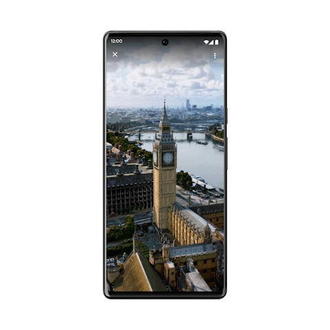
The summer travel season is in full swing, and people are turning to Google Maps to plan their trips and find helpful information about places they plan to visit — like what time a place is open and how crowded it is. To help you with the trip-planning process, we’re bringing photorealistic aerial views of nearly 100 of the world’s most popular landmarks in cities like Barcelona, London, New York, San Francisco and Tokyo right to Google Maps. This is the first step toward launching immersive view — an experience that pairs AI with billions of high definition Street View, satellite and aerial imagery.
Say you’re planning a trip to New York. With this update, you can get a sense for what the Empire State Building is like up close so you can decide whether or not you want to add it to your trip itinerary. To see an aerial view wherever they’re available, search for a landmark in Google Maps and head to the Photos section.
 Billie Eilish is working with Google Maps to help fans make more sustainable choices around her upcoming tour.
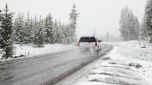
 Google Maps tips to help with your holiday plans, travel and more — including three new updates to Maps.
 More intuitive, sustainable, and accessible ways to explore and navigate during the holidays with Google Maps