Why we like it: This is a classic mashup style map, using the Google Maps JavaScript API with the Flickr API to create HeatmapLayers of photos tagged as Monarch Butterflies.
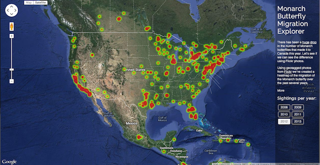
You can see in the 2012 migration season there were many pictures taken of the Monarchs all over and many of them made it up to Canada. And in 2013 that number dropped off considerably, possibly due to the increased use of pesticides.

The map defaults to a satellite map type, but if you click on “Map” it changes to our roadmap map type. You can see the map uses the Google Maps visual refresh.

We really like how this map uses these two APIs to discover and display trends that neither of the APIs were designed to do. We also like the great use of Google Maps for data visualization, and hope we see more from this developer.