Over two days, the team covered the 160-acres course.

Randy Dickerson, of Turner Sports, gets ready for his first trek. Randy and team carried the 40lb camera over the 5+ mile golf course at Hazeltine National Golf Club.

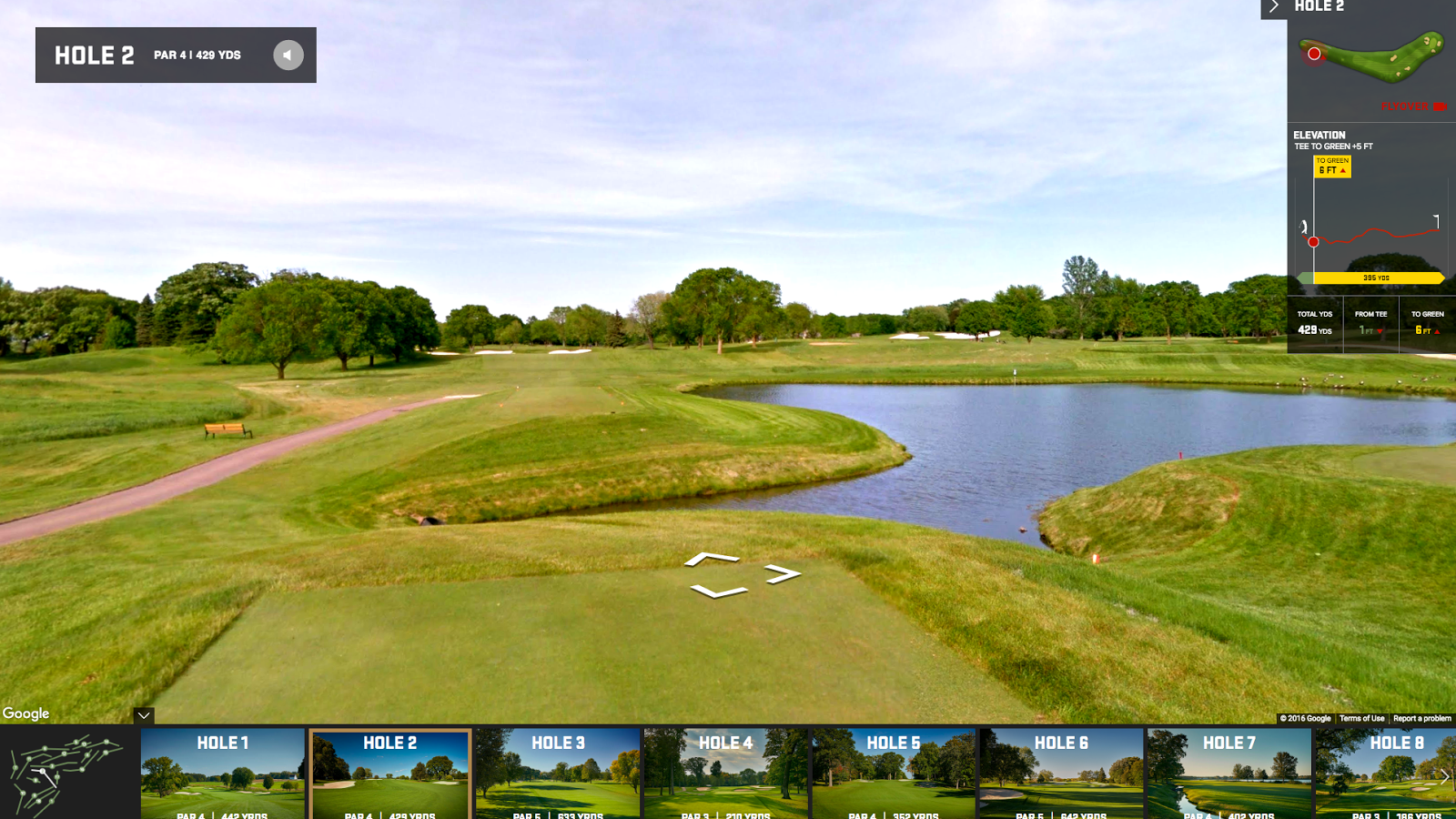
Explore the images on Google Maps, or walk the course like the pros using theHazeltine Explorer, an interactive tour developed by Turner and Ubilabs. Along with 360-degree views, the site, built with Google Maps APIs, features custom elevation graphs for every hole, integrated video highlights and course-specific historical moments.
Fans attending the event can also make use of the Ryder Cup app’s Wayfinding feature, available on Android and iOS. Built using Google Maps APIs, the feature includes a detailed view of the course with routing instructions that account for walking paths and crosswalks. The map also displays information about on-course amenities and facilities.

