From a college student hopping onto a bus, to a family on vacation boarding a train journey to the serene beaches of Goa, public transport is the lifeblood of millions of Indians. And Google Maps is being used by over a billion travelers to navigate and explore their world, wherever they are. Beyond providing the ability to simply navigate between places, we have focused on building India-first features for Google Maps, to deliver a more relevant, accurate, and reliable experience.
Today we are happy to announce three more features to Google Maps in India, to make public transport journeys more efficient and seamless: Bus travel times from live traffic in 10 of the largest cities in India, live train status for Indian Railways trains, and mixed-mode commute suggestions that now combine auto-rickshaw and public transport.
Simplifying travel on public transport buses
Google Maps can now tell you about your bus travel times based on live traffic. This uses the power of Google’s live traffic data and public bus schedules to calculate delays and provide accurate travel times. This is the first product of its kind -- launching first in India -- enabling you to know how long your bus trip will take when factoring in live traffic conditions. This feature is launching in Delhi, Bangalore, Mumbai, Hyderabad, Pune, Lucknow, Chennai, Mysore, Coimbatore, and Surat.
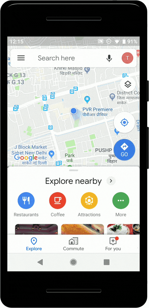
To use this feature, enter your starting location and destination, then tap the transit tab. The results for bus travel times from live traffic will include the time in green (when running on time) or red (when delayed.)
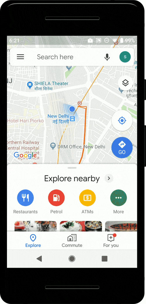
Real-time train information for long-distance trains
Google Maps can now help you know when your train will arrive by indicating the real-time status. Search for your starting location and destination, or your starting station and destination to see a list of trains that you can take between the routes. From there, you can easily see the real-time status, and whether any of them are delayed, right inside Google Maps. This feature was developed in partnership with the Where is My Train app that Google acquired last year.
Mixed-mode directions results that include auto-rickshaws
We’re excited to announce directions support in Maps for journeys that combine auto-rickshaw and public transport. The public transport tab on Google Maps for Android will now tell you when taking such a journey is a good option, how long it will take, which station you should take an auto-rickshaw to/from. You can also see the rickshaw meter estimate, and departure times for your transit connection. This feature will be available for Delhi and Bangalore initially and will soon be extended to more cities.
Posted by Taylah Hasaballah, Product Manager, Google Maps